09 Oct 2025
Map of Flora Affected by Fires in Protected Areas
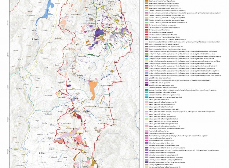
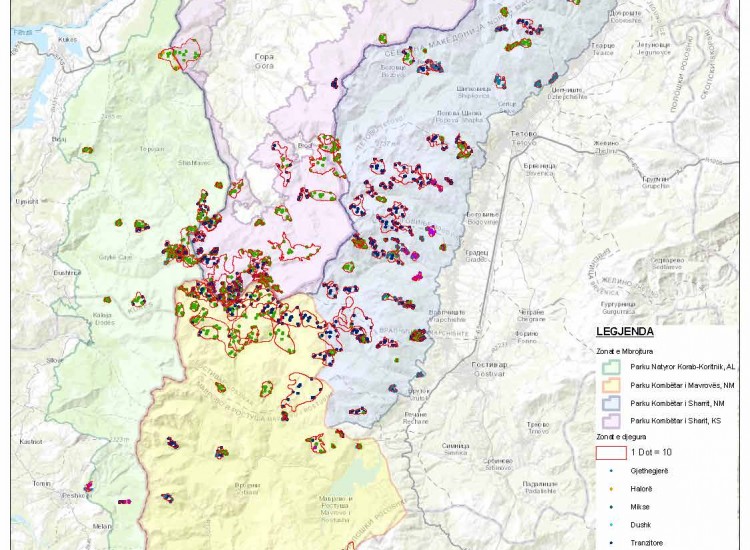
The map of flora affected by fires in Protected Areas presents the spatial distribution of areas affected by fires in the cross-border territory between Albania, North Macedonia and Kosovo. It includes the Korab–Koritnik Natural Park (AL), Mavrova National Park (NM) and Sharri National Park (NM and KS), offering an integrated view of the impact of fires on these areas of high ecological value. The map presents categories of vegetation cover affected, such as broadleaf forests, shrublands, mixed forests, grasslands, transitional vegetation, as well as agricultural areas and artificial surfaces. Burned areas are marked with dots (1 dot = 10 area units), enabling quantitative and comparative assessment of damage intensity according to vegetation typology. The map highlights that fires affect not only natural forests, but also areas with agricultural use and transformed spaces, showing combined natural and anthropogenic pressure. Through this presentation, the document serves as an analytical tool for identifying priority areas for rehabilitation, reforestation and strengthening of preventive measures. In the context of sustainable management of protected areas, this map aids in planning interventions for habitat restoration and biodiversity conservation at the regional scale. To enable graphic illustration, click on the link below:
https://drive.google.com/file/d/1mU4Q9pD720BS6O5dBhuTcnOYjm2ZyREk/view?usp=sharing