10 Dec 2025
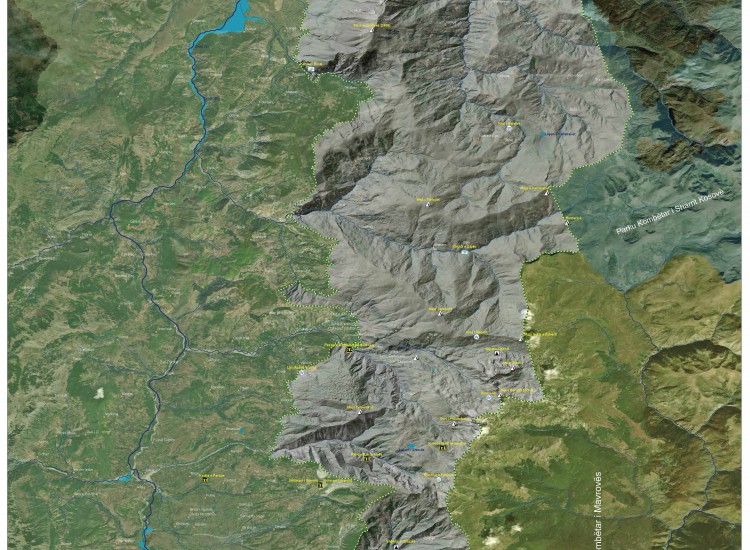
Map of Korab-Koritnik Natural Park and its Natural Attractions
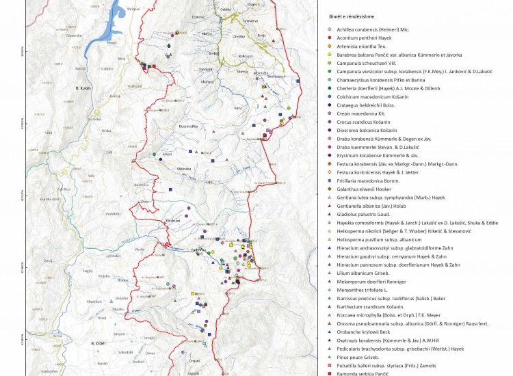
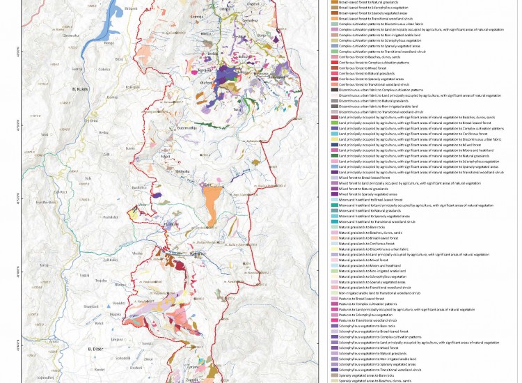
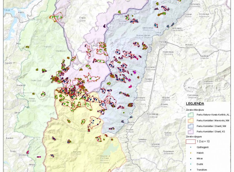
The map of Korab-Koritnik Natural Park and its natural attractions presents in an integrated manner the territory of the protected area, physical elements, and points of tourist and natural interest. It extends along the northeastern border of Albania and demonstrates the ecological connection with Mavrova National Park and Sharri National Park (Kosovo), positioning the park within an important transboundary context. The map identifies major mountain peaks such as Korab Peak (2764 m), Gjallic Peak, Velivari Peak, and Hinoska Peak, which constitute the most dominant summits of the relief. It also highlights meadows, water sources, glacial lakes (such as Grama Lake and Kallabak Lake), canyons (such as Bicaj Canyon), caves (such as Qyteza Cave and Dashi Cave), and waterfalls, highlighting the geomorphological and hydrological diversity of the area. The map includes the hydrographic network of the Black Drin and its tributaries, administrative borders, inhabited areas, and hydroelectric potential, offering a complete territorial overview. It serves as a guiding tool for the development of nature tourism, planning of recreational activities, and promotion of natural heritage values. Overall, the map emphasizes the importance of Korab-Koritnik Natural Park as an area with high ecological, landscape, and tourist wealth at the national and regional level. To enable graphic illustration, click on the link below: https://drive.google.com/file/d/1BER2jhRLylf-xvWvcwLImyi_8PlHaogu/view?usp=sharing